Fugawi India & Pakistan Map
1:500 000
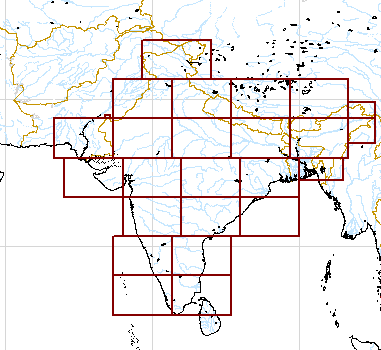

- Pakistan and Afghanistan coverage as shown.
- Maps contain aeronautical information and ground details.>
- 1:500 000 topographic maps on a CD
- 49 meters per pixel resolution.
- FX3 Format.
- GPS ready - Just click to import into Fugawi for moving map navigation.
- BONUS: Includes Digital Elevation Data and Geographic Names database.
- Only Ł109.00