|
|||||
|
|
|
|
|
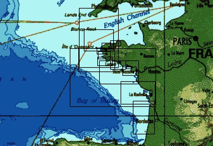
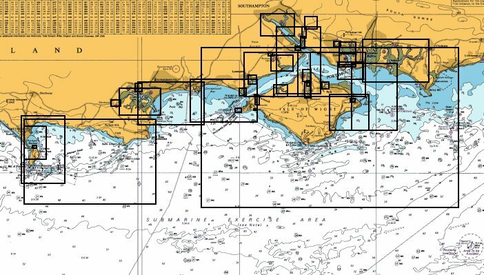
| Example coverage of NW Europe | ||||||
|
Code |
Description |
inc VAT |
exc VAT |
Format |
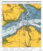
Click to see a larger view |
|
|
BACD01 |
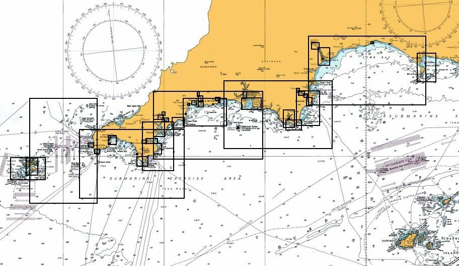
England - South West Coast |
Ł99.95 |
Ł85.06 |
PCX |
|
|
|
BACD02 |
England - Poole to Dover Strait |
Ł99.95 |
Ł85.06 |
PCX |
|
|
|
BACD03 |
England - East Coast South |
Ł99.95 |
Ł85.06 |
PCX |
|
|
|
BACD04 |
England - East Coast North |
Ł99.95 |
Ł85.06 |
PCX |
|
|
|
BACD05 |
England & Wales - West Coast |
Ł99.95 |
Ł85.06 |
PCX |
|
|
|
BACD06 |
Ireland |
Ł99.95 |
Ł85.06 |
PCX |
|
|
|
BACD07 |
Scotland |
Ł99.95 |
Ł85.06 |
PCX |
|
|
|
BACD08 |
Channel Islands |
Ł99.95 |
Ł85.06 |
PCX |
|
|
|
BACD09 |
North West France |
Ł99.95 |
Ł85.06 |
PCX |
|
|
|
BACD10 |
West France |
Ł99.95 |
Ł85.06 |
PCX |
|
|
|
BACD11 |
Belgium & Holland |
Ł99.95 |
Ł85.06 |
PCX |
|
|
|
BACD12 |
Denmark & Germany |
Ł99.95 |
Ł85.06 |
PCX |
|
|
|
BACD13 |
Scotland South West |
Ł99.95 |
Ł85.06 |
PCX |
|
|
|
BACD14 |
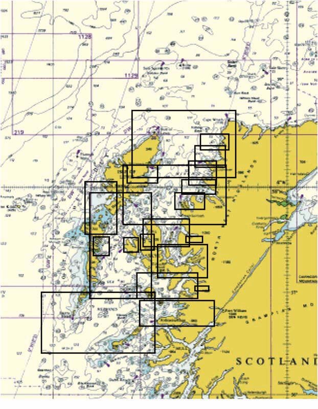
Scotland North West |
Ł99.95 |
Ł85.06 |
PCX |
|
|
|
BACD15 |
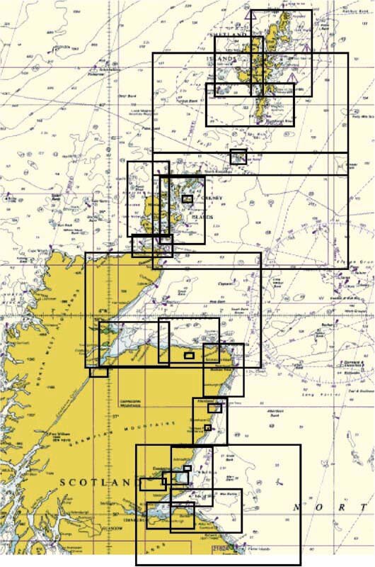
Scotland East |
Ł99.95 |
Ł85.06 |
PCX |
|
|
|
BACD16 |
England South Central
|
Ł99.95 |
Ł85.06 |
PCX |
|
|